Cape Fear River
49 mi northwest · US Army Corps of Engineers
Located in the tobacco country of eastern North Carolina on the improved channel between Wilmington and Fayetteville, the facilities are equipped for day-use, boating and picnicking.
Outdoors
Lakes, reservoirs and rivers near Wilmington for boating, kayaking, canoeing and paddleboarding.
Good to know: Life jackets are required for children on most waters, and many lakes require an invasive-species inspection or a launch fee.
49 mi northwest · US Army Corps of Engineers
Located in the tobacco country of eastern North Carolina on the improved channel between Wilmington and Fayetteville, the facilities are equipped for day-use, boating and picnicking.
57 mi northeast · USDA Forest Service
Cedar Point Campground and Recreation Area is located in eastern North Carolina at the junction of the White Oak River and the Bogue Sound, immediately adjacent to the Swansboro Inlet.
75 mi northeast · USDA Forest Service
Oyster Point Campground is located on the banks of the Newport River, near the town of Newport, NC. The campground is just a short drive to the beaches of Atlantic Beach, NC and other coastal fishing destinations.
Map of 19 places loads as you scroll.
Located in the tobacco country of eastern North Carolina on the improved channel between Wilmington and Fayetteville, the facilities are equipped for day-use, boating and picnicking.
Cedar Point Campground and Recreation Area is located in eastern North Carolina at the junction of the White Oak River and the Bogue Sound, immediately adjacent to the Swansboro Inlet.
Oyster Point Campground is located on the banks of the Newport River, near the town of Newport, NC. The campground is just a short drive to the beaches of Atlantic Beach, NC and other coastal fishing destinations.
The North Carolina National Estuarine Research Reserve was established to preserve the fragile natural areas that make up the third largest estuarine system in the country and the variety of life found there.
Great Island Cabin Camp sits on South Core Banks within Cape Lookout National Seashore, just off the North Carolina coast. This historic, remote camp has long been a favorite destination for fishermen and beachgoers.
North Inlet-Winyah Bay National Estuarine Research Reserve protects more than 12,327 acres of habitats ranging from tidal and transitional marshes to oyster reefs, beaches, and inter-tidal flats and from coastal island forests to open…
A boat ride three miles off-shore brings you to the barrier islands of Cape Lookout National Seashore.
Escape to North Core Cabin Camp — a one-of-a-kind coastal getaway on North Core Banks within the stunning Cape Lookout National Seashore.
Cedar Island National Wildlife Refuge, located in Carteret County, North Carolina is on the end of a peninsula marking the southern end of Pamlico Sound.
B. E. Jordan Dam and Lake is located near the center of North Carolina with a large population base in a 75-mile radius of the project.
Swanquarter National Wildlife Refuge is an extensive coastal marsh which includes the Swanquarter National Wilderness Area.
This recreation area is part of B. Everett Jordan Lake
Buck Hall Recreation Area offers a premier location to enjoy the outdoors. It is situated along the Intracoastal Waterway and provides great access to Cape Romain National Wildlife Refuge, 65,000 acres of marsh, tidal creeks and beaches;…
The US Army Corps of Engineers and the State of North Carolina would like to welcome you to Falls Lake.
Located in the famous Outer Banks area of the stunning North Carolina coast, this campground is perfect for a beach getaway trip. Recreation The seashore provides a place for active recreation or for quiet reflection.
In the early 20th century, farmers and developers attempted to drain Lake Mattamuskeet, building what was at the time the world’s largest pumping plant. The lake was drained several times to convert the lake bottom to farmland.
Established in 1932 as a migratory bird refuge, the refuge's original objectives were to conserve in public ownership habitat for waterfowl, shorebirds and seabirds, and resident species.
Roanoke River NWR was established in 1989 to protect and enhance wooded wetlands consisting of bottomland hardwoods and swamps with high waterfowl value along the Roanoke River.
The refuge was established on March 17, 1939 to provide habitat for migratory birds, to demonstrate sound management practices that enhance natural resource conservation, and to provide wildlife-oriented recreation opportunities.
Distances are straight-line miles from downtown Wilmington. Listings come from Recreation.gov’s federal recreation database; check each official page for hours, fees, fire restrictions and closures before you go.

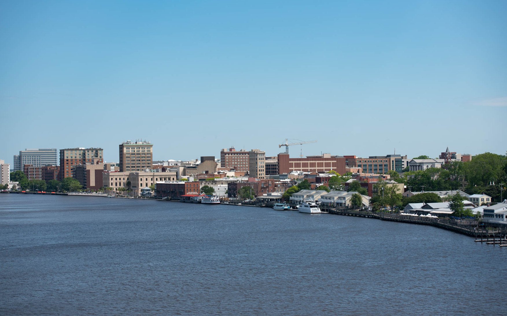
A WALK AROUND TOWN
Downtown Wilmington North Carolina Walking Tour - City Walks - Treadmill Walking Scenery - 4k. A film shared by City Walks.
Watch on YouTube ↗Cape Fear River (US Army Corps of Engineers), about 49 miles northwest of Wilmington as the crow flies. Next are Cedar Point Campground (57 mi) and Oyster Point Campground (75 mi).
Based on Wilmington’s average highs, March–November. Conditions at higher elevations can be much cooler.
Federal agencies including Fish and Wildlife Service, US Army Corps of Engineers, National Park Service. Each listing links to its official page for hours, fees, closures and current conditions.